Projects & Events
Village Signage
Design & Production
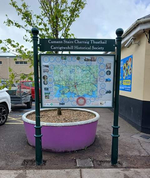 Signage location map at
the entrance to the Community Centre Carpark
At the usual monthly meeting of the historical society, 23rd January 2020, Ollie Sheehan
proposed that information tourist panels of some kind using a uniform design be installed throughout
the village. In time this idea began to develop and intended to work in tandum with the six videos
produced by students of MTU. Unfortunately, Covid intervened resulting in our plans being scuppered
for a time.
On the 18th December 2023 the society was granted funding as part of the Eirgrid Community
Fund amounting to €5,205 to be split between the production of our book of the parish history and the
production of the village signs. It was subsequently agreed, at the recommendation of Ollie, that the
funds be used solely for the book production.
The historical society drafted the wording for these panels during the intervening since the project was
first mooted which CarrigPrint designed and produced.The panels were produced by the kind assistance of
the Carrigtwohill Business Association by provided funding for their manufacture. Once completed the signs
were erected by the Tidy Towns Committee.There are another three to be additionally erected in due course.
Village signage is mentioned several times by the various C2H2040 contributors including the historical
society under section 2.1.3. This is one project nearly completed. Also mentioned under the same section
heading was the parish history book now totally sold out.
Village Signage Locations
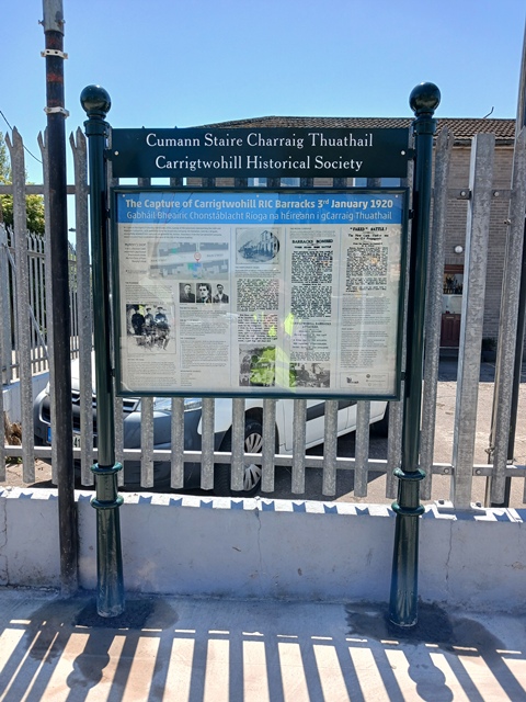 The Capture of the Royal Irish Constbulary (RIC) Barrack
O'Donovan's Yard, Main Street
|
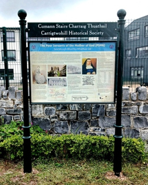 Poor Servants of the Mother of God Convant
Station Road (Formerly Chapel Lane)
|
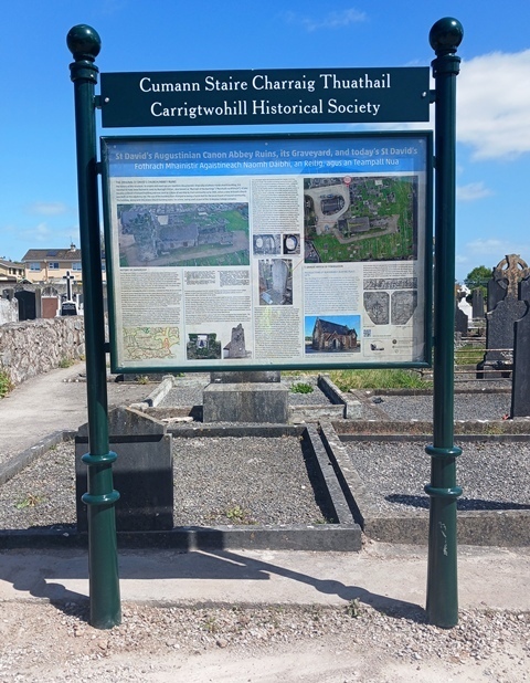 St David's & Augustinian Canon Abbey
To the rear of Glenmays up side laneway
|
| |
|
|